Home / Traffic Cameras / Colorado / Broomfield Broomfield Traffic Cameras & Road Conditions CDOT publishes 75 active camera feeds in and around Broomfield.
75 showed a live picture in the last 24 hours. Over the last 14 days the 60 cameras nearest downtown Broomfield were live 100% of the time we checked, day and night.
Road conditions : 1 full closure, 7 other reported events; CDOT reports "Dry" and "Wet in areas".
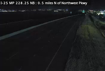
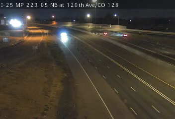
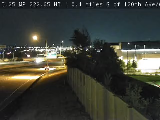
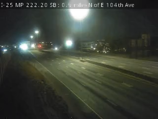
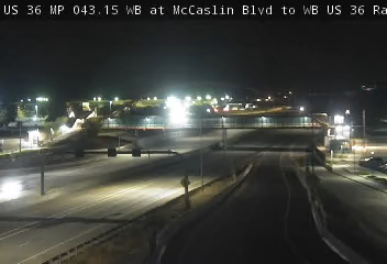
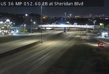
The 60 closest Broomfield cameras I-25 · by milepost 217.95 I-25 MP 217.95 SB, 0.5 miles S of 84th Ave 218.30 I-25 MP 218.30 SB, 0.2 miles S of 84th Ave 218.75 I-25 MP 218.75 SB, 0.3 miles N of 84th Ave 219.50 I-25 MP 219.50 SB, 0.4 miles S of Thornton Pkwy 219.85 I-25 MP 219.85 NB at Thornton Pkwy 220.30 I-25 MP 220.30 NB, 0.4 miles N of Thornton Pkwy 220.55 I-25 MP 220.55 SB, 0.5 miles S of E 104th Ave 221.00 I-25 MP 221.00 SB at E 104th Ave 221.95 I-25 MP 221.95 SB, 0.9 miles N of E 104th Ave 222.20 I-25 MP 222.20 SB, 0.9 miles N of E 104th Ave 222.65 I-25 MP 222.65 NB, 0.4 miles S of 120th Ave/CO 128 223.05 I-25 MP 223.05 NB at 120th Ave/CO 128 224.10 I-25 MP 224.10 SB at 128th Ave 225.10 I-25 MP 225.10 SB at E 136th Ave 226.10 I-25 MP 226.10 SB at W 144th Ave 227.05 I-25 MP 227.05 SB, 0.7 miles S of Northwest Pkwy 228.25 I-25 MP 228.25 NB, 0.5 miles N of Northwest Pkwy 230.55 I-25 MP 230.55 SB, 1.9 miles N of E Baseline Rd/CO 7 232.10 I-25 MP 232.10 SB at Erie Pkwy/Summit Blvd US 36 · by milepost 41.90 US 36 MP 41.90 EB, 1.7 W of McCaslin Blvd 43.15 US 36 MP 43.15 WB at McCaslin Blvd to WB US 36 Ramp 44.40 US 36 MP 44.40 EB, 0.1 miles W of S 88th St 44.90 US 36 MP 44.90 EB, 0.5 miles E of S 88th St 46.15 US 36 MP 46.15 WB, 0.4 miles E of NW Pkwy/Interlocken Loop 47.15 US 36 MP 47.15 EB, 1.1 miles W of CO 121/Wadsworth Pkwy 47.95 US 36 MP 47.95 EB at CO 121/Wadsworth Pkwy 48.20 US 36 MP 48.20 WB, 0.2 miles E of CO 121/Wadsworth Pkwy 50.05 US 36 MP 50.05 EB, 0.4 miles W of W 104th Ave 50.55 US 36 MP 50.55 EB, 0.2 miles E of W 104th Ave 52.00 US 36 MP 52.00 WB, 0.4 miles W of 92nd Ave 52.60 US 36 MP 52.60 EB at Sheridan Blvd 53.15 US 36 MP 53.15 WB, 0.7 miles E of Sheridan Blvd 54.50 US 36 MP 54.50 WB, 0.5 miles W of Federal Blvd 54.65 US 36 MP 54.65 WB, 0.3 miles W of Federal Blvd
Skip the map Broomfield traffic camera map All 75 Broomfield cameras + − Reset
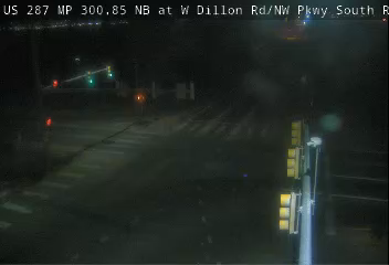
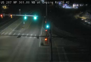
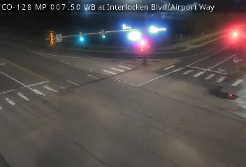
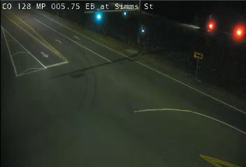
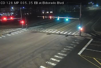
US 287 MP 300.85 NB at W Dillon Rd/NW Pkwy South Ramp US 287 MP 301.80 NB at Empire Rd/CO 42 US 287 MP 298.85 NB at W 10th Ave US 287 MP 302.30 SB at S Public Rd in Lafayette US 287 MP 295.05 NB at N Lowell Blvd US-287 MP 298.65 SB at W 6th Ave US-287 MP 298.35 NB at W Midway Blvd CO-121 MP 26.15 NB at WB US-36 Ramp to Wadsworth Pkwy CO 7 MP 65.35 NB at Bonanza Dr/Lowell Blvd in Broomfield I-25 MP 226.10 SB at W 144th Ave I-25 MP 225.10 SB at E 136th Ave US 287 MP 303.15 SB at W South Boulder Rd US 36 MP 48.20 WB, 0.2 miles E of CO 121/Wadsworth Pkwy CO 7 MP 63.20 NB at N 119th St in Lafayette US 36 MP 47.95 EB at CO 121/Wadsworth Pkwy I-25 MP 227.05 SB, 0.7 miles S of Northwest Pkwy CO 7 MP 66.40 SB at Mountain View Blvd in Broomfield CO-121 MP 25.70 SB at Interlocken Loop/CO-128 US 36 MP 47.15 EB, 1.1 miles W of CO 121/Wadsworth Pkwy I-25 MP 224.10 SB at 128th Ave CO 7 MP 62.55 NB at N Public Rd in Lafayette CO-128 MP 7.50 WB at Interlocken Blvd/Airport Way US 36 MP 46.15 WB, 0.4 miles E of NW Pkwy/Interlocken Loop I-25 MP 228.25 NB, 0.5 miles N of Northwest Pkwy CO 7 MP 62.15 NB at N Carr Ave in Lafayette CO 7 MP 61.90 SB at US 287 in Lafayette I-25 MP 223.05 NB at 120th Ave/CO 128 CO 7 MP 67.50 NB at Huron St in Broomfield I-25 MP 222.65 NB, 0.4 miles S of 120th Ave/CO 128 US 36 MP 50.05 EB, 0.4 miles W of W 104th Ave CO-121 MP 24.35 NB at W 108th Ave I-25 MP 222.20 SB, 0.9 miles N of E 104th Ave US 36 MP 44.90 EB, 0.5 miles E of S 88th St US 36 MP 50.55 EB, 0.2 miles E of W 104th Ave I-25 MP 221.95 SB, 0.9 miles N of E 104th Ave US 36 MP 44.40 EB, 0.1 miles W of S 88th St CO-128 MP 5.75 EB at Simms St US-287 MP 292.05 SB at W 98th Ave/Pine St CO-121 MP 23.35 SB at W 100th Ave/Church Ranch Rd CO-128 MP 5.35 EB at Eldorado Blvd I-25 MP 221.00 SB at E 104th Ave US 36 MP 52.00 WB, 0.4 miles W of 92nd Ave I-25 MP 230.55 SB, 1.9 miles N of E Baseline Rd/CO 7 US 36 MP 43.15 WB at McCaslin Blvd to WB US 36 Ramp I-25 MP 220.55 SB, 0.5 miles S of E 104th Ave I-25 MP 220.30 NB, 0.4 miles N of Thornton Pkwy CO-121 MP 22.10 NB at W 92nd Ave US 36 MP 52.60 EB at Sheridan Blvd CO-128 MP 4.20 EB at Indiana St I-25 MP 219.85 NB at Thornton Pkwy US 36 MP 53.15 WB, 0.7 miles E of Sheridan Blvd I-25 MP 219.50 SB, 0.4 miles S of Thornton Pkwy I-25 MP 232.10 SB at Erie Pkwy/Summit Blvd US 36 MP 41.90 EB, 1.7 W of McCaslin Blvd I-25 MP 218.75 SB, 0.3 miles N of 84th Ave CO-121 MP 20.65 NB at W 80th Ave I-25 MP 218.30 SB, 0.2 miles S of 84th Ave US 36 MP 54.50 WB, 0.5 miles W of Federal Blvd US 36 MP 54.65 WB, 0.3 miles W of Federal Blvd I-25 MP 217.95 SB, 0.5 miles S of 84th Ave US 36 MP 40.45 EB at S Cherryvale Rd US 36 MP 55.85 EB, 0.1 miles W of N Pecos St I-25 MP 217.60 NB, 0.6 miles N of US 36/I-270 CO-121 MP 19.65 SB at W 72nd Ave CO-72 MP 6.25 WB at W 86th Pkwy US 36 MP 57.20 EB at I-25 I-25 MP 216.95 SB at I-25 HOV N Lane Split (Camera 2) I-25 MP 216.95 SB at I-25 HOV N Lane Split (Camera 1) US 36 MP 57.35 EB at EB US 36 to NB I-25 Ramp CO 93 MP 13.65 NB at Eldorado Springs Dr/CO 170 CO 224 MP 0.30 EB at CO 53/Broadway CO 224 MP 0.60 WB at I-25 CO 224 MP 0.65 WB, 0.1 miles E of I-25 CO-72 MP 5.90 WB at W 80th Ave I-76 MP 11.10 WB, 0.6 miles W of E 96th Ave I-25 US 36 US 287 CO 7 THORNTON ARVADA WESTMINSTER BOULDER THORNTON ARVADA WESTMINSTER BOULDER 5 mi BROOMFIELD BROOMFIELD 60 of 75 cameras, closest to downtown first
Routes: CO 121 · CO 128 · CO 224 Nearby: Westminster · Thornton · Arvada Colorado: Independence Pass · Loveland Pass Approach I-25 US 36 US 287 CO 7 CO 121 CO 128 I-25 · 19 live now I-25 MP 226.10 SB at W 144th Ave · Camera: CDOT · official site · 100% 14-day uptime I-25 · MP 226.1 I-25 MP 225.10 SB at E 136th Ave · Camera: CDOT · official site · 100% 14-day uptime I-25 · MP 225.1 I-25 MP 227.05 SB, 0.7 miles S of Northwest Pkwy · Camera: CDOT · official site · 100% 14-day uptime I-25 · MP 227.1 I-25 MP 224.10 SB at 128th Ave · Camera: CDOT · official site · 100% 14-day uptime I-25 · MP 224.1 I-25 MP 228.25 NB, 0.5 miles N of Northwest Pkwy · Camera: CDOT · official site · 100% 14-day uptime I-25 · MP 228.2 I-25 MP 223.05 NB at 120th Ave/CO 128 · Camera: CDOT · official site · 99% 14-day uptime I-25 · MP 223 I-25 MP 222.65 NB, 0.4 miles S of 120th Ave/CO 128 · Camera: CDOT · official site · 100% 14-day uptime I-25 · MP 222.6 I-25 MP 222.20 SB, 0.9 miles N of E 104th Ave · Camera: CDOT · official site · 100% 14-day uptime I-25 · MP 222.2 I-25 MP 221.95 SB, 0.9 miles N of E 104th Ave · Camera: CDOT · official site · 100% 14-day uptime I-25 · MP 222 I-25 MP 221.00 SB at E 104th Ave · Camera: CDOT · official site · 100% 14-day uptime I-25 · MP 221 I-25 MP 230.55 SB, 1.9 miles N of E Baseline Rd/CO 7 · Camera: CDOT · official site · 100% 14-day uptime I-25 · MP 230.6 I-25 MP 220.55 SB, 0.5 miles S of E 104th Ave · Camera: CDOT · official site · 100% 14-day uptime I-25 · MP 220.6 I-25 MP 220.30 NB, 0.4 miles N of Thornton Pkwy · Camera: CDOT · official site · 100% 14-day uptime I-25 · MP 220.3 I-25 MP 219.85 NB at Thornton Pkwy · Camera: CDOT · official site · 100% 14-day uptime I-25 · MP 219.8 I-25 MP 219.50 SB, 0.4 miles S of Thornton Pkwy · Camera: CDOT · official site · 100% 14-day uptime I-25 · MP 219.5 I-25 MP 232.10 SB at Erie Pkwy/Summit Blvd · Camera: CDOT · official site · 99% 14-day uptime I-25 · MP 232.1 I-25 MP 218.75 SB, 0.3 miles N of 84th Ave · Camera: CDOT · official site · 100% 14-day uptime I-25 · MP 218.8 I-25 MP 218.30 SB, 0.2 miles S of 84th Ave · Camera: CDOT · official site · 100% 14-day uptime I-25 · MP 218.4 I-25 MP 217.95 SB, 0.5 miles S of 84th Ave · Camera: CDOT · official site · 100% 14-day uptime I-25 · MP 218 Show all 19 cameras
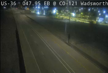
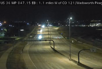
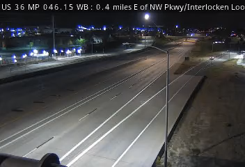
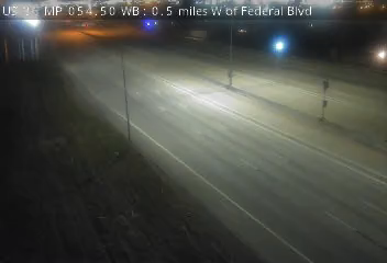
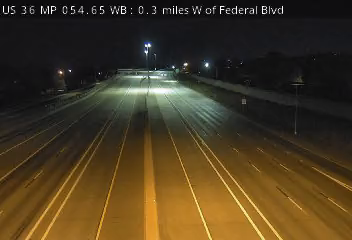
US 36 · 15 live now US 36 MP 48.20 WB, 0.2 miles E of CO 121/Wadsworth Pkwy · Camera: CDOT · official site · 100% 14-day uptime US 36 · MP 48.2 US 36 MP 47.95 EB at CO 121/Wadsworth Pkwy · Camera: CDOT · official site · 100% 14-day uptime US 36 · MP 47.95 US 36 MP 47.15 EB, 1.1 miles W of CO 121/Wadsworth Pkwy · Camera: CDOT · official site · 94% 14-day uptime US 36 · MP 47.15 US 36 MP 46.15 WB, 0.4 miles E of NW Pkwy/Interlocken Loop · Camera: CDOT · official site · 100% 14-day uptime US 36 · MP 46.15 US 36 MP 50.05 EB, 0.4 miles W of W 104th Ave · Camera: CDOT · official site · 100% 14-day uptime US 36 · MP 50.05 US 36 MP 44.90 EB, 0.5 miles E of S 88th St · Camera: CDOT · official site · 100% 14-day uptime US 36 · MP 44.9 US 36 MP 50.55 EB, 0.2 miles E of W 104th Ave · Camera: CDOT · official site · 100% 14-day uptime US 36 · MP 50.55 US 36 MP 44.40 EB, 0.1 miles W of S 88th St · Camera: CDOT · official site · 99% 14-day uptime US 36 · MP 44.4 US 36 MP 52.00 WB, 0.4 miles W of 92nd Ave · Camera: CDOT · official site · 100% 14-day uptime US 36 · MP 52 US 36 MP 43.15 WB at McCaslin Blvd to WB US 36 Ramp · Camera: CDOT · official site · 99% 14-day uptime US 36 · MP 43.15 US 36 MP 52.60 EB at Sheridan Blvd · Camera: CDOT · official site · 100% 14-day uptime US 36 · MP 52.6 US 36 MP 53.15 WB, 0.7 miles E of Sheridan Blvd · Camera: CDOT · official site · 100% 14-day uptime US 36 · MP 53.15 US 36 MP 41.90 EB, 1.7 W of McCaslin Blvd · Camera: CDOT · official site · 100% 14-day uptime US 36 · MP 41.9 US 36 MP 54.50 WB, 0.5 miles W of Federal Blvd · Camera: CDOT · official site · 100% 14-day uptime US 36 · MP 54.5 US 36 MP 54.65 WB, 0.3 miles W of Federal Blvd · Camera: CDOT · official site · 98% 14-day uptime US 36 · MP 54.65 US 287 · 9 live now Show all 9 cameras
Broomfield road conditions Full closure: CO 42 in both directions: Road closed, due to road construction. · Reported by CDOT
7 more reported events in this area (3 closures, 4 roadwork) Closure: US 36 eastbound: Left lane closed, due to bridge maintenance operations. Closure: I-25 southbound: Exit ramp partially closed, due to bridge maintenance operations. Closure: I-270 eastbound: Right lane closed, due to bridge maintenance operations. Roadwork: US 287 northbound: Road construction. Roadwork: US 287 northbound: Road construction. Roadwork: CO 7 (Arapahoe Rd) northbound: Road construction. Roadwork: CO 7 (Arapahoe Rd) southbound: Road construction. Reported by CDOT. Reports refresh about every 10 minutes.
All 11 CDOT reports 270 from I-76 to I-70 Dry CDOT · Nov 21, 7:02 AM MST Boulder-Longmont Dry CDOT · Nov 21, 7:02 AM MST Boulder-US 287 Dry CDOT · Nov 21, 7:02 AM MST CO 7-Ft. Collins Dry CDOT · Nov 21, 7:02 AM MST Denver-Boulder Dry CDOT · Nov 21, 7:02 AM MST E-470 Dry CDOT · Nov 21, 7:02 AM MST Golden-Boulder Wet in areas CDOT · Nov 21, 7:25 AM MST Lincoln Ave-CO 7 Wet in areas CDOT · Nov 21, 7:25 AM MST US 287 to I-76 Dry CDOT · Nov 21, 7:02 AM MST Westminster-Ft. Collins Dry CDOT · Nov 21, 7:02 AM MST Wheat Ridge/Arvada-Brighton Dry CDOT · Nov 21, 7:02 AM MST
Run Home Assistant? The Live Traffic Cam integration puts these Broomfield cameras on your dashboard, each with a verified-live sensor. No API key. It is in HACS: add it to your Home Assistant .
Put these Broomfield cameras on your own site Pick a size, click in its box, select all and copy, then paste into your page where the cameras should appear (in WordPress, a "Custom HTML" block). Live cameras first; free; the credit line stays. Previews and details .
Four cameras Two cameras One camera On these routes Nearby cities More in Colorado 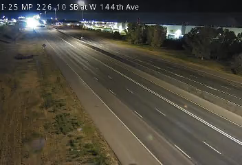 Verified · 8m
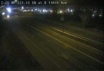 Verified · 49m
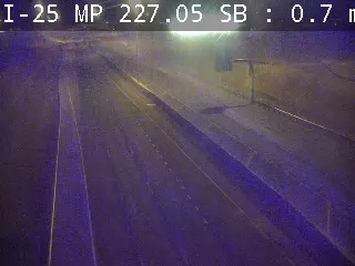 Verified · 27m
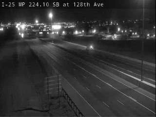 Verified · 35m
 Verified · 48m
 Verified · 30m
 Verified · 20m
 Verified · 38m
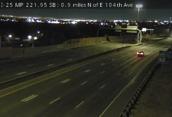 Verified · 1h
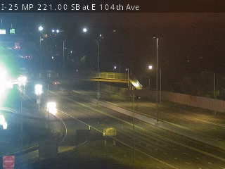 Verified · 32m
 Verified · 5h
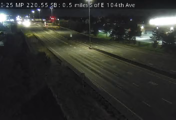 Verified · 47m
 Verified · 27m
 Verified · 1h
 Verified · 4h
 Verified · 33m
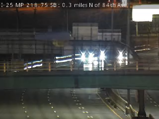 Verified · 1h
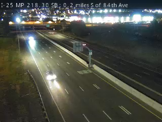 Verified · 56m
 Verified · 4h
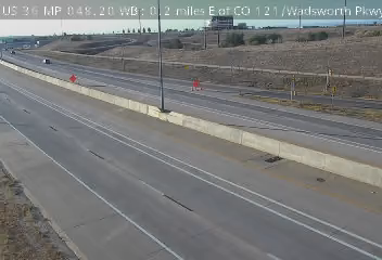 Verified · 8m
 Verified · 32m
 Verified · 1h
 Verified · 15m
 Verified · 30m
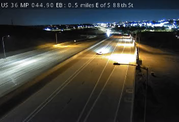 Verified · 33m
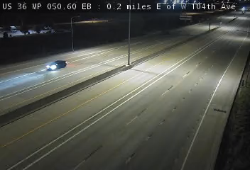 Verified · 30m
 Verified · 43m
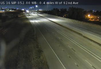 Verified · 5m
 Verified · 50m
 Verified · 48m
 Verified · 6h
 Verified · 30m
 Verified · 5h
 Verified · 6h
 Verified · 31m
 Verified · 20m
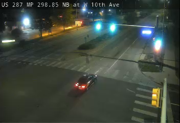 Verified · 1h
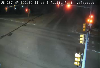 Verified · 9m
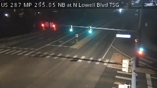 Verified · 48m
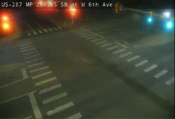 Verified · 9m
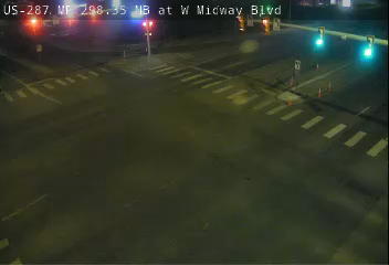 Verified · 59m
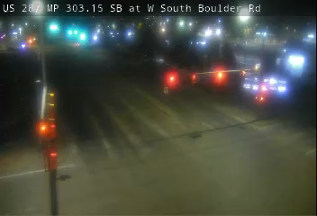 Verified · 5h
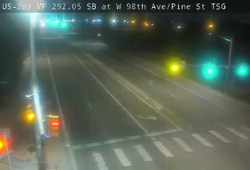 Verified · 3h
 Verified · 4h
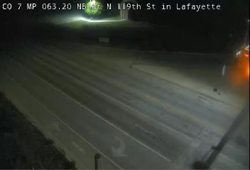 Verified · 58m
 Verified · 2h
 Verified · 49m
 Verified · 2h
 Verified · 4h
 Verified · 4h
 Verified · 6h
 Verified · 32m
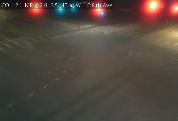 Verified · 13m
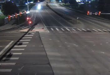 Verified · 5h
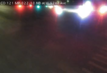 Verified · 1h
 Verified · 4h
 Verified · 1h
 Verified · 2h
 Verified · 30m
 Verified · 1h