Home / Traffic Cameras / Colorado / US 36 US 36 in Colorado Traffic Cameras, Closures & Conditions - 23 Live CDOT traffic cameras along US 36 in Colorado. 23 of 23 cameras showed a live picture in the last 24 hours.
1 reported event on this route (1 closure) Closure: US 36 eastbound: Left lane closed, due to bridge maintenance operations. Reported by CDOT. Reports refresh about every 10 minutes.
Skip both maps Where the US 36 cameras are + − Reset
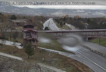
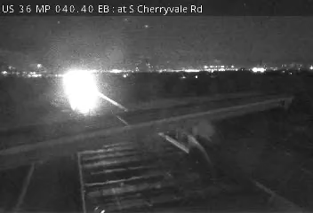
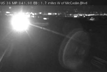
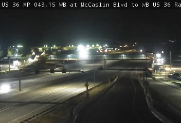
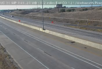
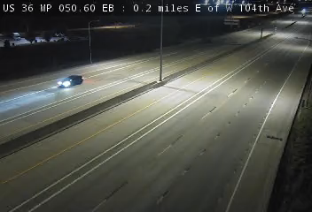
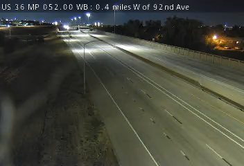
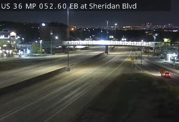
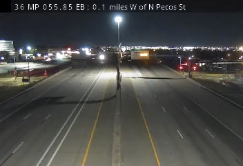
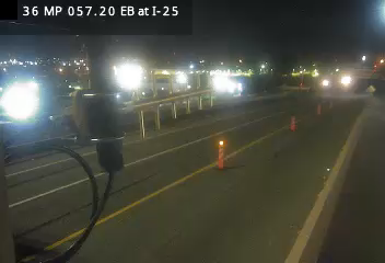
US 36 MP 37.15 EB, 0.1 miles E of Colorado Ave US 36 MP 37.50 EB at Baseline Rd WB Ramp to US 36 EB US 36 MP 38.15 EB, 0.6 miles E of Baseline Rd US 36 MP 39.20 EB at CO 157/Foothills Pkwy US 36 MP 40.45 EB at S Cherryvale Rd US 36 MP 41.90 EB, 1.7 W of McCaslin Blvd US 36 MP 43.15 WB at McCaslin Blvd to WB US 36 Ramp US 36 MP 44.40 EB, 0.1 miles W of S 88th St US 36 MP 44.90 EB, 0.5 miles E of S 88th St US 36 MP 46.15 WB, 0.4 miles E of NW Pkwy/Interlocken Loop US 36 MP 47.15 EB, 1.1 miles W of CO 121/Wadsworth Pkwy US 36 MP 47.95 EB at CO 121/Wadsworth Pkwy US 36 MP 48.20 WB, 0.2 miles E of CO 121/Wadsworth Pkwy US 36 MP 50.05 EB, 0.4 miles W of W 104th Ave US 36 MP 50.55 EB, 0.2 miles E of W 104th Ave US 36 MP 52.00 WB, 0.4 miles W of 92nd Ave US 36 MP 52.60 EB at Sheridan Blvd US 36 MP 53.15 WB, 0.7 miles E of Sheridan Blvd US 36 MP 54.50 WB, 0.5 miles W of Federal Blvd US 36 MP 54.65 WB, 0.3 miles W of Federal Blvd US 36 MP 55.85 EB, 0.1 miles W of N Pecos St US 36 MP 57.20 EB at I-25 US 36 MP 57.35 EB at EB US 36 to NB I-25 Ramp US 36 THORNTON ARVADA WESTMINSTER BOULDER BROOMFIELD THORNTON ARVADA WESTMINSTER BOULDER BROOMFIELD 5 mi Skip the map Map of US 36 cameras in milepost order Highways: C-470 · CO 112 · CO 114 All cameras · 23 live now US 36 MP 37.50 EB at Baseline Rd WB Ramp to US 36 EB · Camera: CDOT · official site · 100% 14-day uptime US 36 · MP 37.5 US 36 MP 38.15 EB, 0.6 miles E of Baseline Rd · Camera: CDOT · official site · 99% 14-day uptime US 36 · MP 38.15 US 36 MP 39.20 EB at CO 157/Foothills Pkwy · Camera: CDOT · official site · 100% 14-day uptime US 36 · MP 39.2 US 36 MP 40.45 EB at S Cherryvale Rd · Camera: CDOT · official site · 85% 14-day uptime US 36 · MP 40.45 US 36 MP 41.90 EB, 1.7 W of McCaslin Blvd · Camera: CDOT · official site · 100% 14-day uptime US 36 · MP 41.9 US 36 MP 43.15 WB at McCaslin Blvd to WB US 36 Ramp · Camera: CDOT · official site · 99% 14-day uptime US 36 · MP 43.15 US 36 MP 44.40 EB, 0.1 miles W of S 88th St · Camera: CDOT · official site · 99% 14-day uptime US 36 · MP 44.4 US 36 MP 44.90 EB, 0.5 miles E of S 88th St · Camera: CDOT · official site · 100% 14-day uptime US 36 · MP 44.9 US 36 MP 46.15 WB, 0.4 miles E of NW Pkwy/Interlocken Loop · Camera: CDOT · official site · 100% 14-day uptime US 36 · MP 46.15 US 36 MP 47.15 EB, 1.1 miles W of CO 121/Wadsworth Pkwy · Camera: CDOT · official site · 94% 14-day uptime US 36 · MP 47.15 US 36 MP 47.95 EB at CO 121/Wadsworth Pkwy · Camera: CDOT · official site · 100% 14-day uptime US 36 · MP 47.95 US 36 MP 48.20 WB, 0.2 miles E of CO 121/Wadsworth Pkwy · Camera: CDOT · official site · 100% 14-day uptime US 36 · MP 48.2 US 36 MP 50.05 EB, 0.4 miles W of W 104th Ave · Camera: CDOT · official site · 100% 14-day uptime US 36 · MP 50.05 US 36 MP 50.55 EB, 0.2 miles E of W 104th Ave · Camera: CDOT · official site · 100% 14-day uptime US 36 · MP 50.55 US 36 MP 52.00 WB, 0.4 miles W of 92nd Ave · Camera: CDOT · official site · 100% 14-day uptime US 36 · MP 52 US 36 MP 52.60 EB at Sheridan Blvd · Camera: CDOT · official site · 100% 14-day uptime US 36 · MP 52.6 US 36 MP 53.15 WB, 0.7 miles E of Sheridan Blvd · Camera: CDOT · official site · 100% 14-day uptime US 36 · MP 53.15 US 36 MP 54.50 WB, 0.5 miles W of Federal Blvd · Camera: CDOT · official site · 100% 14-day uptime US 36 · MP 54.5 US 36 MP 54.65 WB, 0.3 miles W of Federal Blvd · Camera: CDOT · official site · 98% 14-day uptime US 36 · MP 54.65 US 36 MP 55.85 EB, 0.1 miles W of N Pecos St · Camera: CDOT · official site · 96% 14-day uptime US 36 · MP 55.85 US 36 MP 57.20 EB at I-25 · Camera: CDOT · official site · 100% 14-day uptime US 36 · MP 57.2 US 36 MP 57.35 EB at EB US 36 to NB I-25 Ramp · Camera: CDOT · official site · 100% 14-day uptime US 36 · MP 57.35 Show all 22 cameras
US 36 in Colorado road conditions How do I check US 36 in Colorado road conditions? Check US 36 in Colorado road conditions with the live cameras on this page: 23 of 23 live in the last 24 hours. Each camera shows the pavement, weather, and traffic at its spot right now. It is a current image, not a text report or incident feed. Cameras are placed along US 36. Are these cameras live? We recheck every camera around the clock. A camera's badge shows when its feed last answered a check, and a feed that stops answering is marked offline. 23 of 23 showed a live picture in the last 24 hours. Is US 36 in Colorado closed right now? A camera is the fastest visual check, but closure calls are official ones: for closures, accident reports, and chain controls, see CDOT road conditions. CDOT road conditions Put these US 36 Colorado cameras on your own site Pick a size, click in its box, select all and copy, then paste into your page where the cameras should appear (in WordPress, a "Custom HTML" block). Live cameras first; free; the credit line stays. Previews and details .
Four cameras Two cameras One camera More Colorado highways Statewide 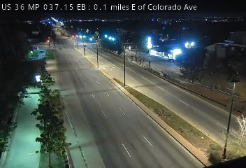
 Verified · 47m
 Verified · 56m
 Verified · 25m
 Verified · 54m
 Verified · 28m
 Verified · 48m
 Verified · 41m
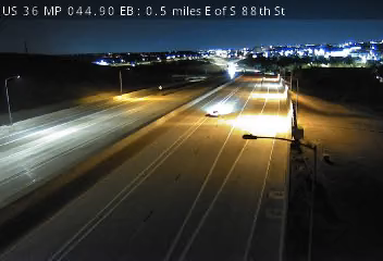 Verified · 31m
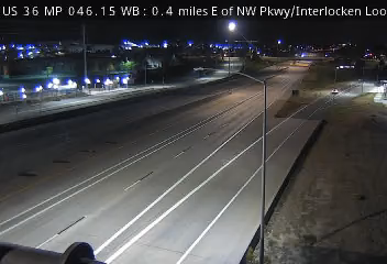 Verified · 13m
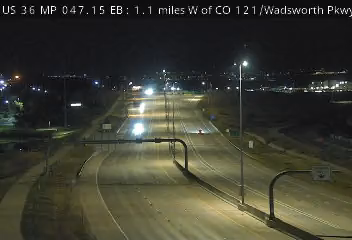 Verified · 1h
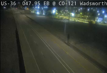 Verified · 30m
 Verified · 6m
 Verified · 28m
 Verified · 28m
 Verified · 3m
 Verified · 46m
 Verified · 6h
 Verified · 5h
 Verified · 6h
 Verified · 3h
 Verified · 21m
 Verified · 3h