Charleston Traffic Cameras

SCDOT publishes 72 active camera feeds in and around Charleston. 71 showed a live picture in the last 24 hours. Over the last 14 days the 60 cameras nearest downtown Charleston were live 96% of the time we checked, day and night.

Road conditions: no closures, incidents or roadwork reported.

Skip the map
Charleston traffic camera map All 72 Charleston cameras
I-26 E @ MM 217 (Meeting Street)I-26 E @ MM 218I-26 E @ MM 218.5I-26 E @ MM 216 (Cosgrove Ave)I-26 E @ MM 215.5I-26 E @ MM 219 (Morrison/East Bay St)I-26 W @ MM 220 (Romney St)I-26 E @ MM 215 (Dorchester Rd)I-26 E @ MM 220 (Ravenel Bridge Entrance)US 17 N in CharlestonI-26 W @ MM 214.5 (Bennett Yard Overpass)I-26 W @ MM 220 (US 17N)I-526 E @ MM 14 (Leeds Ave)I-526 W @ MM 13.5US 17 S in Charleston (Arthur Ravenel Jr. Brdg, 1)Hwy 17N @ Ashley River BridgeI-526 E @ MM 15 (Dorchester Rd)I-526 E @ MM 11.5 (Hwy 61)US 17 S in Charleston (Arthur Ravenel Jr. Brdg, 2)Charleston Tower - LowerCharleston Tower - UpperCharleston Tower - Upper 2 (MM 104.55)I-26 E @ MM 213 (Montague Ave)Mt. Pleasant Tower - Upper 2 (MM 105.54)Mt. Pleasant Tower - Lower (MM 105.5)I-526 E @ MM 11 (Ash. Rv. Rd)I-526 E @ MM 10.5Hwy 171 S @ Wappoo Cut BridgeI-526 E @ MM 16 (International Blvd)I-526 E @ MM 10 (US 17)I-526 W @ MM 23 (Clements Ferry Road)I-526 W @ MM 24 (Daniel Island)I-526 E @ MM 20.5 (Don Holt )I-526 W @ MM 21 (Don Holt (Top))I-526 W @ MM 21.5 (Don Holt (Down))US 17 S @ Mt Pleasant EntranceI-526 E @ MM 20 (Virginia Ave)I-26 E @ MM 212I-526 W @ MM 16.5 (International Blvd)I-526 W @ MM 24.3I-526 E @ MM 18 (Rivers Ave)I-26 W @ MM 212.5 (I-526)I-526 E @ MM 19US 17 S @ Mt Pleasant (Holiday Inn)Coleman @ Patriots PointI-26 E @ MM 211.5I-526 E @ MM 27 (Wando Bridge)I-26 E @ MM 211I-526 E @ MM 28 (Wando Br)I-26 W @ MM 210 (Eagle Drive)I-526 E @ MM 30 (US 17)SC 703 Ben Sawyer Blvd NB @ North Point LnSC 703 Ben Sawyer Blvd SB @ Center St ExtI-26 W @ MM 209.5 (Midland Park)I-26 W @ MM 209.4SC 703 Ben Sawyer BridgeAshley Phosphate Rd @ I-26 EB Ramp Exit 209SC 703 Ben Sawyer Blvd NB @ Station 22 1/2Isle of Palms Connector @ Rifle Range Rd.I-26 W @ MM 208 (US 52 Connector)I-26 W @ MM 207.5Folly Rd N @ Teal Marsh RdFolly Rd S @ Terns NestI-26 W @ MM 207Folly Rd N @ Tides EndFolly Rd S @ Oak Island CreekI-26 W @ MM 206.2SC 517 IOP ConnectorI-26 E @ MM 214I-526 E @ MM 23I-26 W @ MM 209 (Ashley Phosphate Rd)I-26NORTH CHARLESTONMOUNT PLEASANTGOOSE CREEKNORTH CHARLESTONMOUNT PLEASANTGOOSE CREEK5 miCHARLESTONCHARLESTON

60 of 72 cameras, closest to downtown first

I-526 · 21 of 22 live now
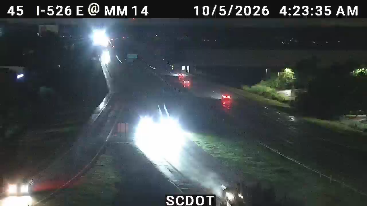
I-526 E @ MM 14 (Leeds Ave) live camera view Verified · 25m
I-526 E @ MM 14 (Leeds Ave)
· Camera: SCDOT · official site · 98% 14-day uptime
I-526 · MP 14
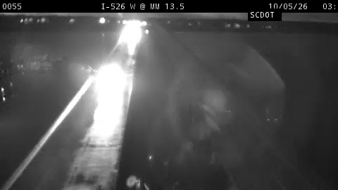
I-526 W @ MM 13.5 live camera view Verified · 4h
I-526 W @ MM 13.5
· Camera: SCDOT · official site · 100% 14-day uptime
I-526 · MP 13.5
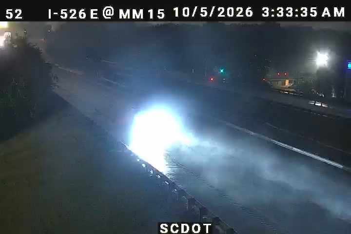
I-526 E @ MM 15 (Dorchester Rd) live camera view Verified · 25m
I-526 E @ MM 15 (Dorchester Rd)
· Camera: SCDOT · official site · 98% 14-day uptime
I-526 · MP 15
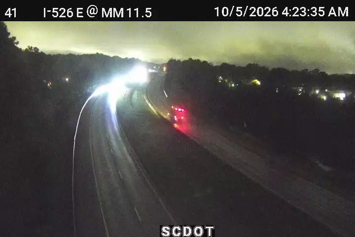
I-526 E @ MM 11.5 (Hwy 61) live camera view Verified · 40m
I-526 E @ MM 11.5 (Hwy 61)
· Camera: SCDOT · official site · 100% 14-day uptime
I-526 · MP 12.2
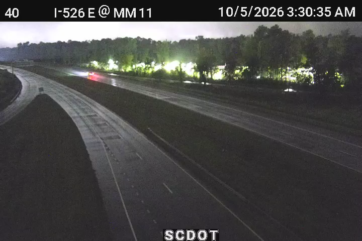
I-526 E @ MM 11 (Ash. Rv. Rd) live camera view Verified · 40m
I-526 E @ MM 11 (Ash. Rv. Rd)
· Camera: SCDOT · official site · 99% 14-day uptime
I-526 · MP 11
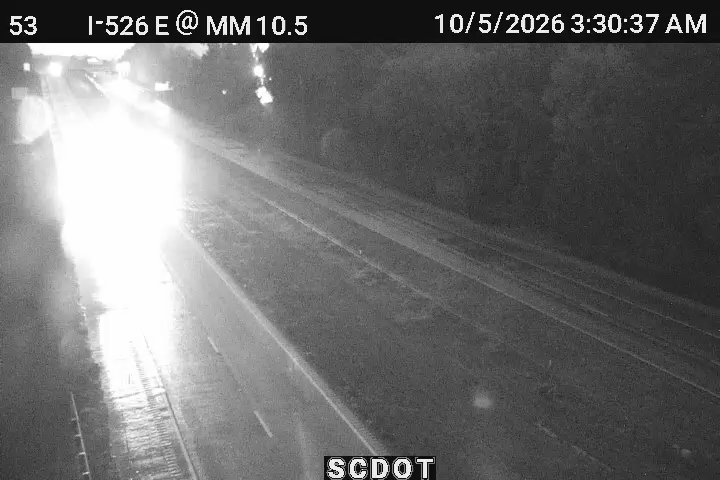
I-526 E @ MM 10.5 live camera view Verified · 5m
I-526 E @ MM 10.5
· Camera: SCDOT · official site · 95% 14-day uptime
I-526 · MP 10.5
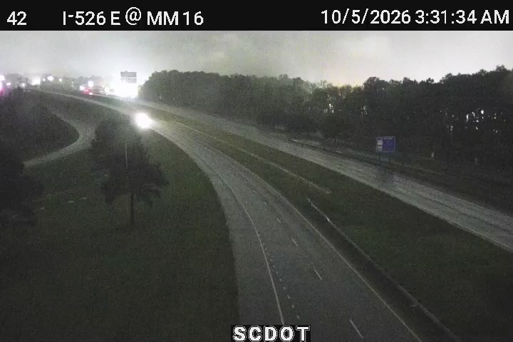
I-526 E @ MM 16 (International Blvd) live camera view Verified · 4h
I-526 E @ MM 16 (International Blvd)
· Camera: SCDOT · official site · 100% 14-day uptime
I-526 · MP 16
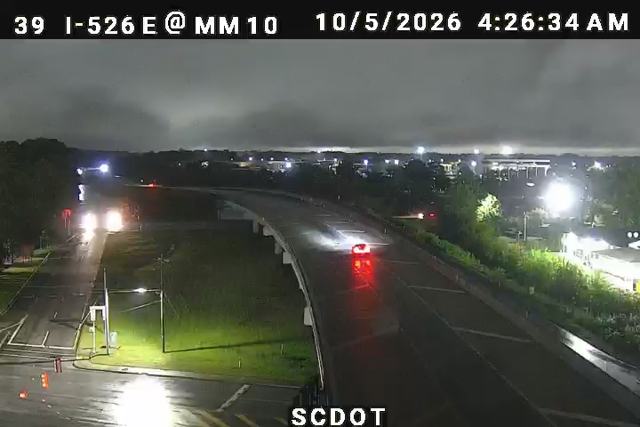
I-526 E @ MM 10 (US 17) live camera view Verified · 1h
I-526 E @ MM 10 (US 17)
· Camera: SCDOT · official site · 98% 14-day uptime
I-526 · MP 10
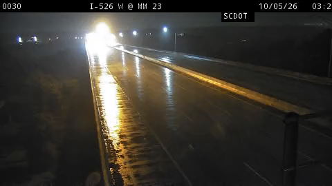
I-526 W @ MM 23 (Clements Ferry Road) live camera view Verified · 5h
I-526 W @ MM 23 (Clements Ferry Road)
· Camera: SCDOT · official site · 100% 14-day uptime
I-526 · MP 23
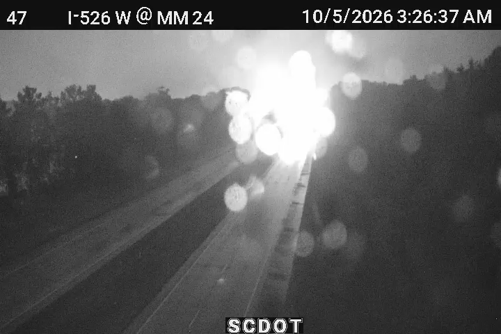
I-526 W @ MM 24 (Daniel Island) live camera view Verified · 5h
I-526 W @ MM 24 (Daniel Island)
· Camera: SCDOT · official site · 100% 14-day uptime
I-526 · MP 23.5
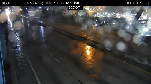
I-526 E @ MM 20.5 (Don Holt ) live camera view Verified · 30m
I-526 E @ MM 20.5 (Don Holt )
· Camera: SCDOT · official site · 99% 14-day uptime
I-526 · MP 20.5
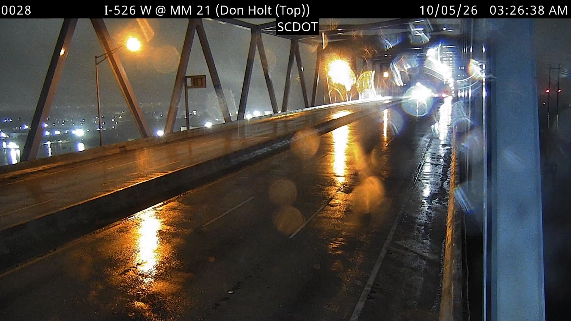
I-526 W @ MM 21 (Don Holt (Top)) live camera view Verified · 4h
I-526 W @ MM 21 (Don Holt (Top))
· Camera: SCDOT · official site · 99% 14-day uptime
I-526 · MP 20.5
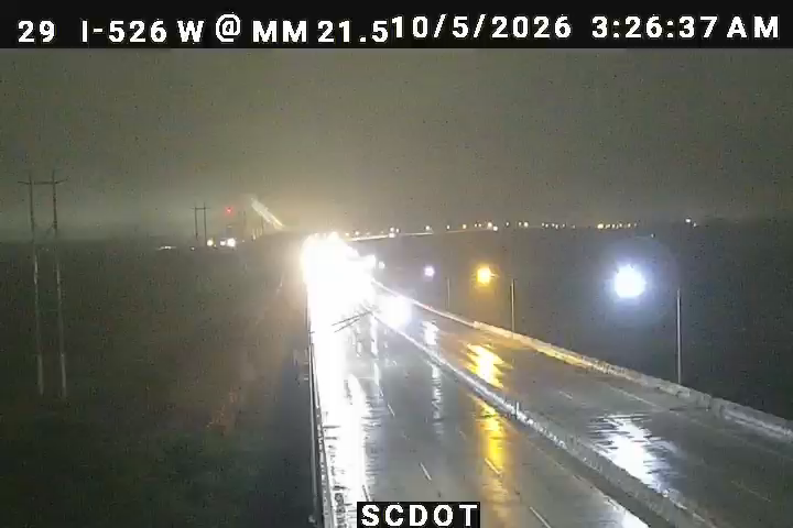
I-526 W @ MM 21.5 (Don Holt (Down)) live camera view Verified · 6h
I-526 W @ MM 21.5 (Don Holt (Down))
· Camera: SCDOT · official site · 100% 14-day uptime
I-526 · MP 20.7
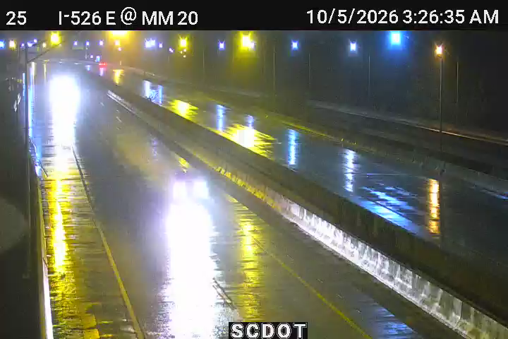
I-526 E @ MM 20 (Virginia Ave) live camera view Verified · 6h
I-526 E @ MM 20 (Virginia Ave)
· Camera: SCDOT · official site · 97% 14-day uptime
I-526 · MP 20
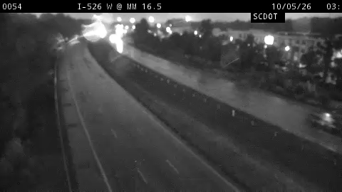
I-526 W @ MM 16.5 (International Blvd) live camera view Verified · 4h
I-526 W @ MM 16.5 (International Blvd)
· Camera: SCDOT · official site · 100% 14-day uptime
I-526 · MP 16.4
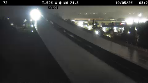
I-526 W @ MM 24.3 live camera view Verified · 6h
I-526 W @ MM 24.3
· Camera: SCDOT · official site · 98% 14-day uptime
I-526 · MP 24.3
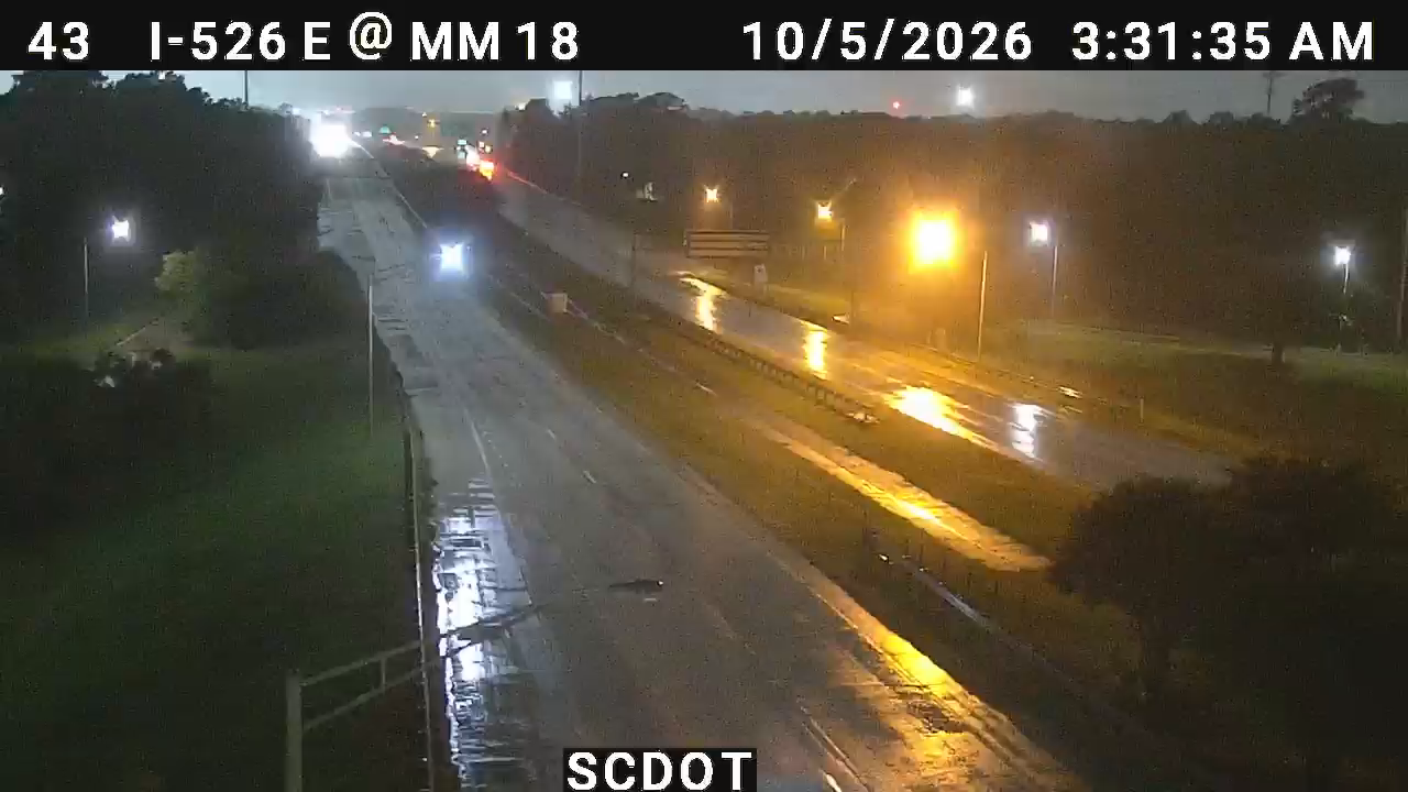
I-526 E @ MM 18 (Rivers Ave) live camera view Verified · 6h
I-526 E @ MM 18 (Rivers Ave)
· Camera: SCDOT · official site · 97% 14-day uptime
I-526 · MP 18
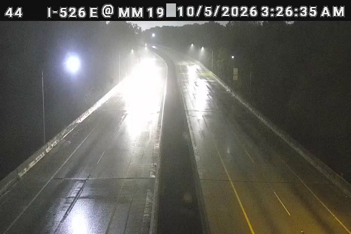
I-526 E @ MM 19 live camera view Verified · 4h
I-526 E @ MM 19
· Camera: SCDOT · official site · 100% 14-day uptime
I-526 · MP 19
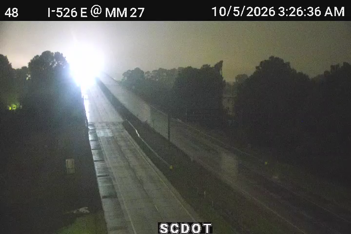
I-526 E @ MM 27 (Wando Bridge) live camera view Verified · 6h
I-526 E @ MM 27 (Wando Bridge)
· Camera: SCDOT · official site · 100% 14-day uptime
I-526 · MP 27
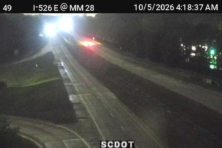
I-526 E @ MM 28 (Wando Br) live camera view Verified · 40m
I-526 E @ MM 28 (Wando Br)
· Camera: SCDOT · official site · 99% 14-day uptime
I-526 · MP 28
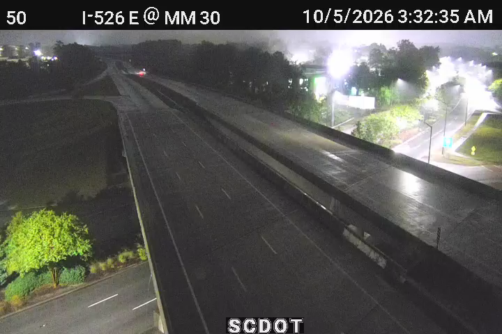
I-526 E @ MM 30 (US 17) live camera view Verified · 45m
I-526 E @ MM 30 (US 17)
· Camera: SCDOT · official site · 100% 14-day uptime
I-526 · MP 30

Offline in our latest checks:I-526 E @ MM 23 - last seen 8h ago

I-26 · 19 of 21 live now
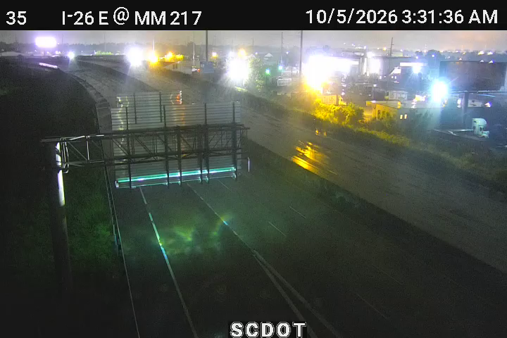
I-26 E @ MM 217 (Meeting Street) live camera view Verified · 30m
I-26 E @ MM 217 (Meeting Street)
· Camera: SCDOT · official site · 98% 14-day uptime
I-26 · MP 217
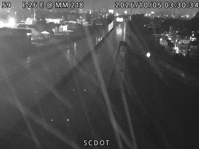
I-26 E @ MM 218 live camera view Verified · 45m
I-26 E @ MM 218
· Camera: SCDOT · official site · 98% 14-day uptime
I-26 · MP 218
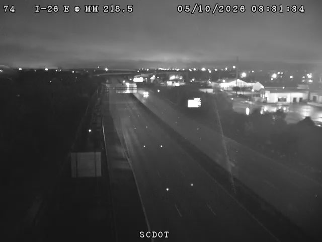
I-26 E @ MM 218.5 live camera view Verified · 3h
I-26 E @ MM 218.5
· Camera: SCDOT · official site · 100% 14-day uptime
I-26 · MP 218.5
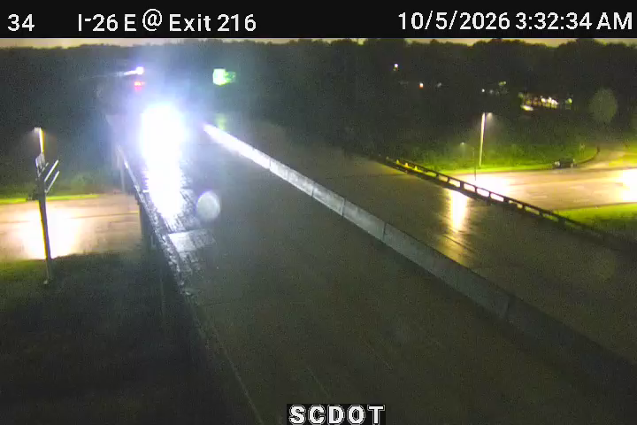
I-26 E @ MM 216 (Cosgrove Ave) live camera view Verified · 4h
I-26 E @ MM 216 (Cosgrove Ave)
· Camera: SCDOT · official site · 100% 14-day uptime
I-26 · MP 216
I-26 E @ MM 215.5 live camera view Verified · 4h
I-26 E @ MM 215.5
· Camera: SCDOT · official site · 100% 14-day uptime
I-26 · MP 215.5
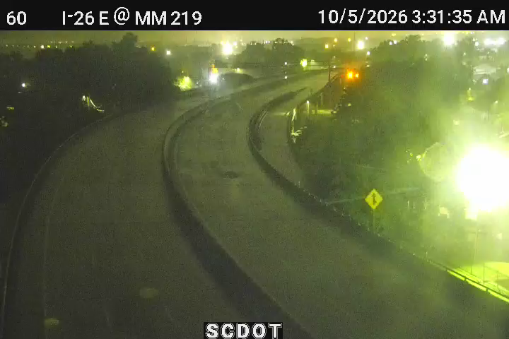
I-26 E @ MM 219 (Morrison/East Bay St) live camera view Verified · 4h
I-26 E @ MM 219 (Morrison/East Bay St)
· Camera: SCDOT · official site · 100% 14-day uptime
I-26 · MP 219.4
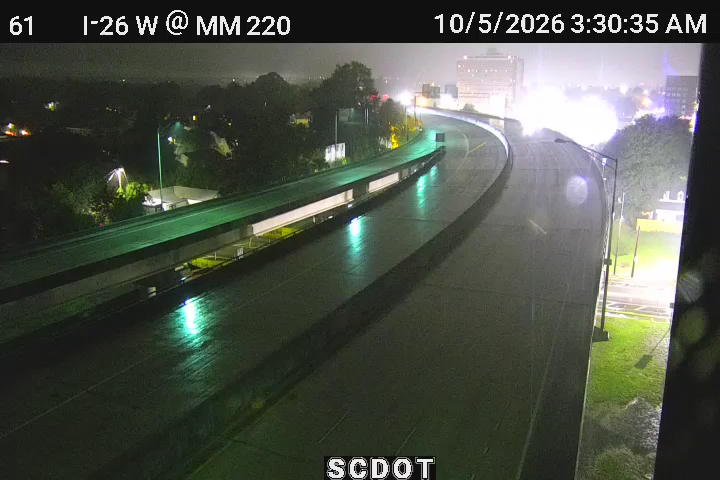
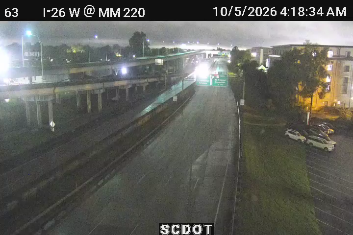
I-26 W @ MM 220 (Romney St) live camera view Verified · 6h
I-26 W @ MM 220 (Romney St)
· Camera: SCDOT · official site · 99% 14-day uptime
I-26 · MP 219.7
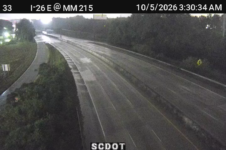
I-26 E @ MM 215 (Dorchester Rd) live camera view Verified · 4h
I-26 E @ MM 215 (Dorchester Rd)
· Camera: SCDOT · official site · 99% 14-day uptime
I-26 · MP 215
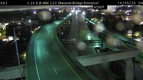
I-26 E @ MM 220 (Ravenel Bridge Entrance) live camera view Verified · 1h
I-26 E @ MM 220 (Ravenel Bridge Entrance)
· Camera: SCDOT · official site · 94% 14-day uptime
I-26 · MP 220
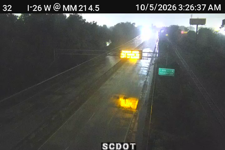
I-26 W @ MM 214.5 (Bennett Yard Overpass) live camera view Verified · 4h
I-26 W @ MM 214.5 (Bennett Yard Overpass)
· Camera: SCDOT · official site · 100% 14-day uptime
I-26 · MP 214.5
I-26 W @ MM 220 (US 17N) live camera view Verified · 4h
I-26 W @ MM 220 (US 17N)
· Camera: SCDOT · official site · 99% 14-day uptime
I-26 · MP 220.6
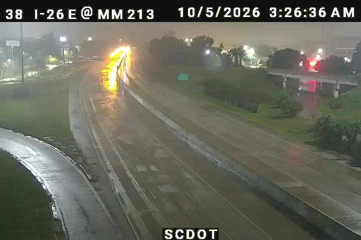
I-26 E @ MM 213 (Montague Ave) live camera view Verified · 1h
I-26 E @ MM 213 (Montague Ave)
· Camera: SCDOT · official site · 100% 14-day uptime
I-26 · MP 213
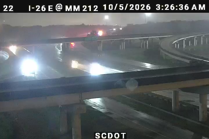
I-26 E @ MM 212 live camera view Verified · 4h
I-26 E @ MM 212
· Camera: SCDOT · official site · 100% 14-day uptime
I-26 · MP 212
I-26 W @ MM 212.5 (I-526) live camera view Verified · 4h
I-26 W @ MM 212.5 (I-526)
· Camera: SCDOT · official site · 100% 14-day uptime
I-26 · MP 212.5
I-26 E @ MM 211.5 live camera view Verified · 45m
I-26 E @ MM 211.5
· Camera: SCDOT · official site · 98% 14-day uptime
I-26 · MP 211.5
I-26 E @ MM 211 live camera view Verified · 4h
I-26 E @ MM 211
· Camera: SCDOT · official site · 100% 14-day uptime
I-26 · MP 211
I-26 W @ MM 210 (Eagle Drive) live camera view Verified · 6h
I-26 W @ MM 210 (Eagle Drive)
· Camera: SCDOT · official site · 100% 14-day uptime
I-26 · MP 210
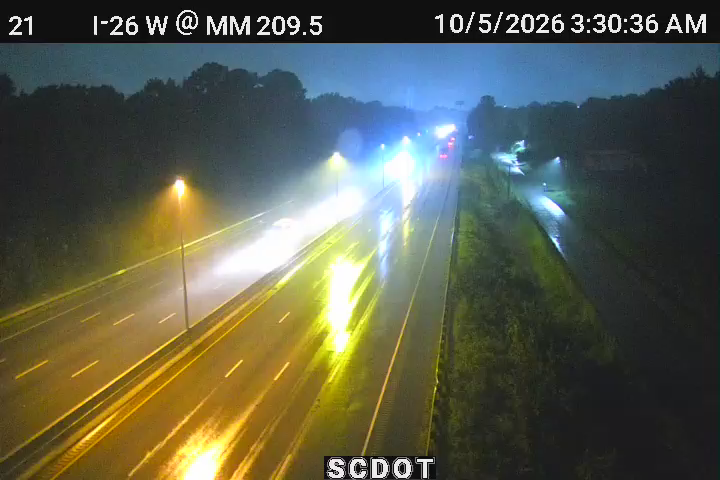
I-26 W @ MM 209.5 (Midland Park) live camera view Verified · 1h
I-26 W @ MM 209.5 (Midland Park)
· Camera: SCDOT · official site · 100% 14-day uptime
I-26 · MP 209.6
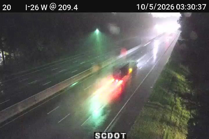
I-26 W @ MM 209.4 live camera view Verified · 3h
I-26 W @ MM 209.4
· Camera: SCDOT · official site · 100% 14-day uptime
I-26 · MP 209.4

Offline in our latest checks:I-26 E @ MM 214 - last seen 8h agoI-26 W @ MM 209 (Ashley Phosphate Rd) - last seen 8h ago

US 17 · 11 of 12 live now
US 17 N in Charleston live camera view Verified · 6h
US 17 N in Charleston - NB
· Camera: SCDOT · official site · 98% 14-day uptime
US 17 · MP 103.2
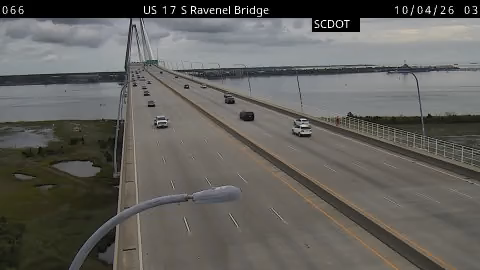
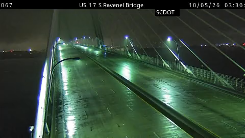
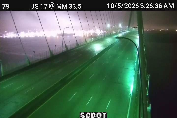
US 17 S in Charleston (Arthur Ravenel Jr. Brdg, 1) live camera view Verified · 5m
US 17 S in Charleston (Arthur Ravenel Jr. Brdg, 1) - SB
· Camera: SCDOT · official site · 98% 14-day uptime
US 17 · MP 104
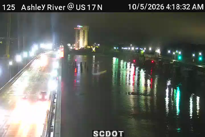
Hwy 17N @ Ashley River Bridge live camera view Verified · 5h
Hwy 17N @ Ashley River Bridge - NB
· Camera: SCDOT · official site · 98% 14-day uptime
US 17 · MP 101
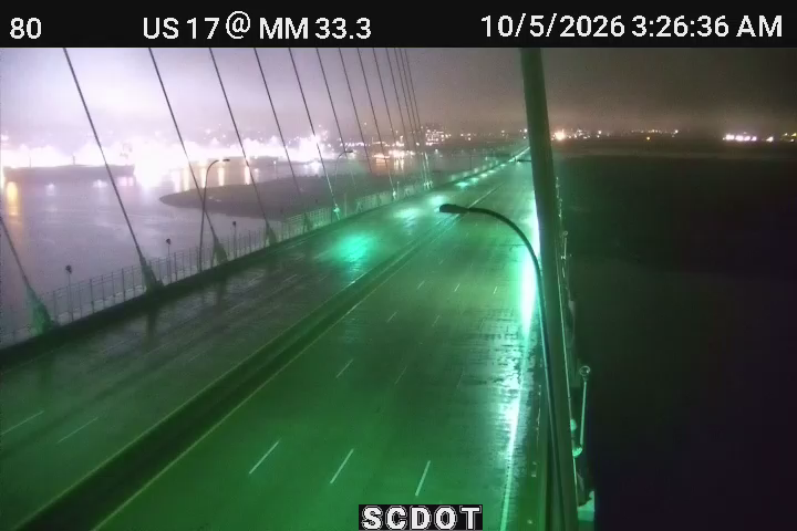
US 17 S in Charleston (Arthur Ravenel Jr. Brdg, 2) live camera view Verified · 40m
US 17 S in Charleston (Arthur Ravenel Jr. Brdg, 2) - SB
· Camera: SCDOT · official site · 100% 14-day uptime
US 17 · MP 104.3
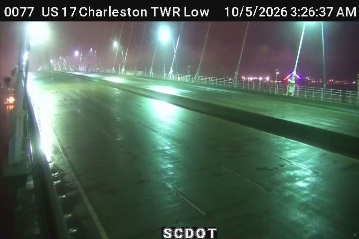
Charleston Tower - Lower live camera view Verified · 5m
Charleston Tower - Lower - Median
· Camera: SCDOT · official site · 99% 14-day uptime
US 17 · MP 104.6
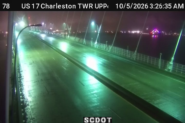
Charleston Tower - Upper live camera view Verified · 40m
Charleston Tower - Upper - Median
· Camera: SCDOT · official site · 100% 14-day uptime
US 17 · MP 104.5
Charleston Tower - Upper 2 (MM 104.55) live camera view Verified · 5m
Charleston Tower - Upper 2 (MM 104.55) - SB
· Camera: SCDOT · official site · 99% 14-day uptime
US 17 · MP 104.6
Mt. Pleasant Tower - Upper 2 (MM 105.54) live camera view Verified · 5m
Mt. Pleasant Tower - Upper 2 (MM 105.54) - SB
· Camera: SCDOT · official site · 100% 14-day uptime
US 17 · MP 105.5
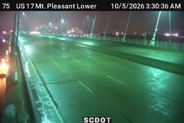
Mt. Pleasant Tower - Lower (MM 105.5) live camera view Verified · 40m
Mt. Pleasant Tower - Lower (MM 105.5) - Median
· Camera: SCDOT · official site · 100% 14-day uptime
US 17 · MP 105.5
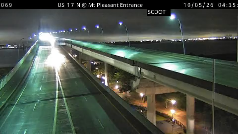
US 17 S @ Mt Pleasant Entrance live camera view Verified · 5m
US 17 S @ Mt Pleasant Entrance - NB
· Camera: SCDOT · official site · 98% 14-day uptime
US 17 · MP 106
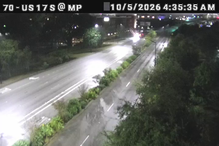
US 17 S @ Mt Pleasant (Holiday Inn) live camera view Verified · 6h
US 17 S @ Mt Pleasant (Holiday Inn)
· Camera: SCDOT · official site · 100% 14-day uptime
US 17 · MP 106.4

Offline in our latest checks:Mt. Pleasant Tower - Upper - last seen 17d ago

SC 703 · 4 live now
Coleman @ Patriots Point live camera view Verified · 2h
Coleman @ Patriots Point - SB
· Camera: SCDOT · official site · 90% 14-day uptime
SC 703 · MP 0.4
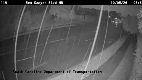
SC 703 Ben Sawyer Blvd NB @ North Point Ln live camera view Verified · 4h
SC 703 Ben Sawyer Blvd NB @ North Point Ln
· Camera: SCDOT · official site · 99% 14-day uptime
SC 703 · MP 3.4
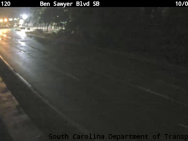
SC 703 Ben Sawyer Blvd SB @ Center St Ext live camera view Verified · 3h
SC 703 Ben Sawyer Blvd SB @ Center St Ext
· Camera: SCDOT · official site · 98% 14-day uptime
SC 703 · MP 3.4
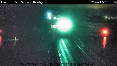
SC 703 Ben Sawyer Bridge live camera view Verified · 6h
SC 703 Ben Sawyer Bridge - NB
· Camera: SCDOT · official site · 96% 14-day uptime
SC 703 · MP 4.7

SC 171 · 1 live now

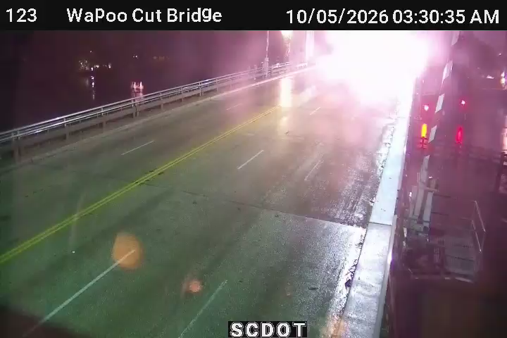
Hwy 171 S @ Wappoo Cut Bridge live camera view Verified · 55m
Hwy 171 S @ Wappoo Cut Bridge
· Camera: SCDOT · official site · 100% 14-day uptime
SC 171 · MP 8.4

Charleston road conditions

No closures, incidents or roadwork currently reported by SCDOT for this area. Reports refresh about every 10 minutes.

Run Home Assistant? The Live Traffic Cam integration puts these Charleston cameras on your dashboard, each with a verified-live sensor. No API key. It is in HACS: add it to your Home Assistant.

Put these Charleston cameras on your own site

Pick a size, click in its box, select all and copy, then paste into your page where the cameras should appear (in WordPress, a "Custom HTML" block). Live cameras first; free; the credit line stays. Previews and details.

On these routes

Nearby cities